01WITH AIR SURVEY EUROPE PILOT
Aircraft with pilot
Our pilot flies the aircraft. You bring your camera, LiDAR scanner or other sensor and handle the collected data.
AIRCRAFT HIRE FOR AERIAL SURVEYS
Hire our aircraft for projects using your own camera, LiDAR scanner or other sensor. Fly with our pilot, or use your own pilot by agreement.
SERVICES / 01—02
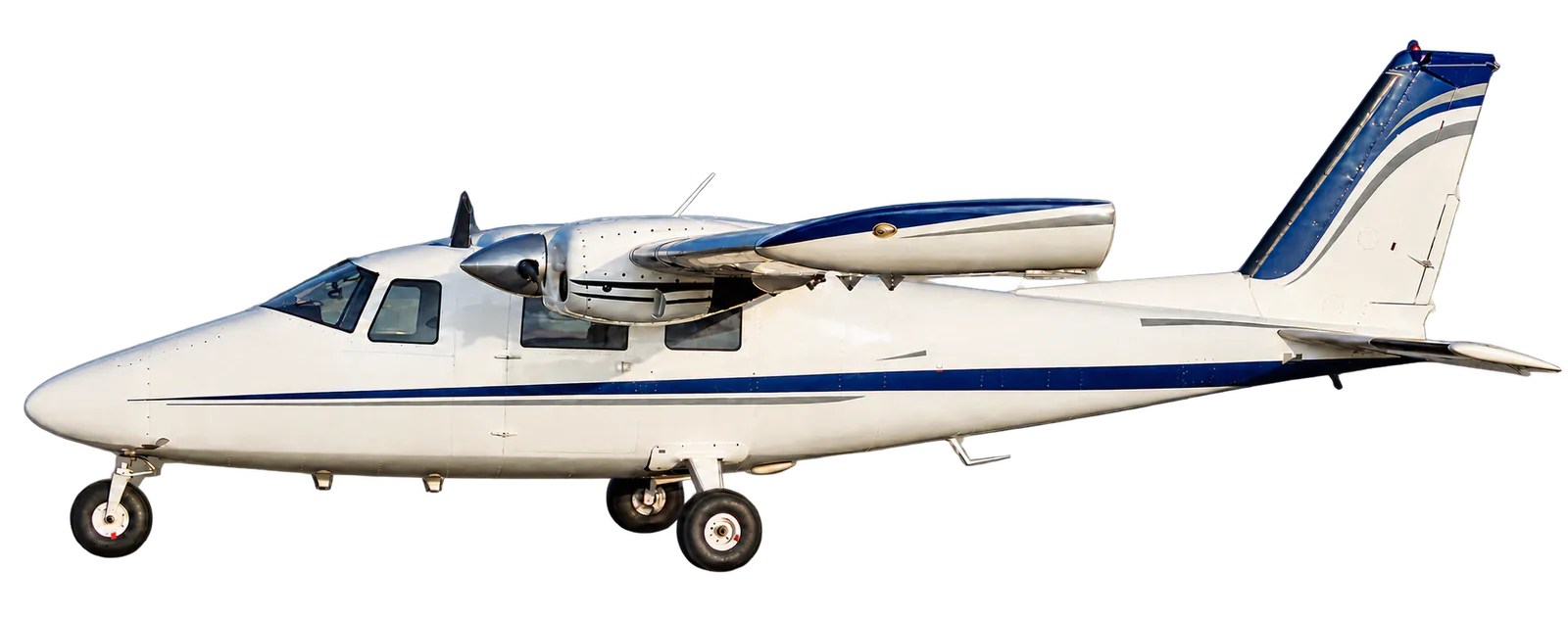
Hire our Partenavia P68C-TC with an Air Survey Europe pilot, or arrange aircraft-only rental with your own pilot.
Our pilot flies the aircraft. You bring your camera, LiDAR scanner or other sensor and handle the collected data.
Use your own pilot by agreement. Pilots must meet the applicable requirements. Before rental, Air Survey Europe trains your pilot in the use of the aircraft.
THE PEOPLE / AIR SURVEY EUROPE

Flight operation and Quality Manager
Kristian is responsible for flight operations and quality at Air Survey Europe.
Mechanical Engineer
Kevin handles aircraft maintenance and preparation, helping keep the aircraft ready for flight.
HOW IT WORKS
You supply the sensors and the expertise to work with the collected data. We provide the aircraft, with our pilot or yours as agreed.
TERRAIN SOURCE: NASA/USGS SRTMGL1 V003 VIA MAPZEN TERRAIN TILES · PUBLIC-DOMAIN DATA · BILLUND EXCERPT 55.66–55.81 N / 9.01–9.285 E
CONTACT / BILLUND, DENMARK
General enquiries
lik@airsurveyeurope.com+45 23 27 70 74Telephone hours: 08:00–22:00 daily · CET/CEST